
Self-guided Trails
from Punanti
General information
You will walk in the Páramo of the Chimba Community Páramo is an ecosystem in South America, which is between 3,000 and 4,500 meters above sea level. It is characterized by a cold, humid, and often foggy climate. The páramos are home to unique vegetation, such as Frailejones (plants with long velvety leaves), and play a crucial role in water regulation because they slowly store and release rainwater. These are very sensitive and essential ecosystems for biodiversity and water supply of the surrounding regions.
What is a community?
- A president elected not for his program but, to represent the community in all circumstances
- Decisions are taken during general assembly or one person per family is present.
- The common and central good is why we are summoned to the Minga. Collective practice, where members help each other with joint projects, such as construction infrastructure or agriculture.
- Communities manage their internal affairs, in particular community justice, recognized by the Ecuadorian Constitution.
Rules
- Download the GPX trace
- Show a person from the staff to trace on their application
- If you have no application you need to download one (ex mapy.cz, maps.me, etc.)
- Water verification, food
- Clothing / equipment verification
- Announce the path you are going to do
- Prohibition to change paths along the way
- Stay on the path
- Come back with all your waste, even the organic
- Take a photo of illegal motorcycles in Páramo to denounce them to the community
- Picking prohibited
Advice
- Raise your head looking for the next post
- Follow the topographic logic
- Ask for an explanation of the path
- Weather verification
- Battery check material
- Stick recommended
Security
In the event of a thunderstorm with lightning, put your electronic equipment in a plastic bag, get rid of any metallic object and, move away from it at least 10 meters. If you are in a group put at least 10m away between you, recommended fetal position.
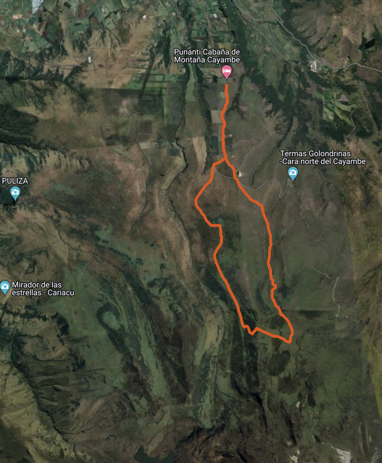
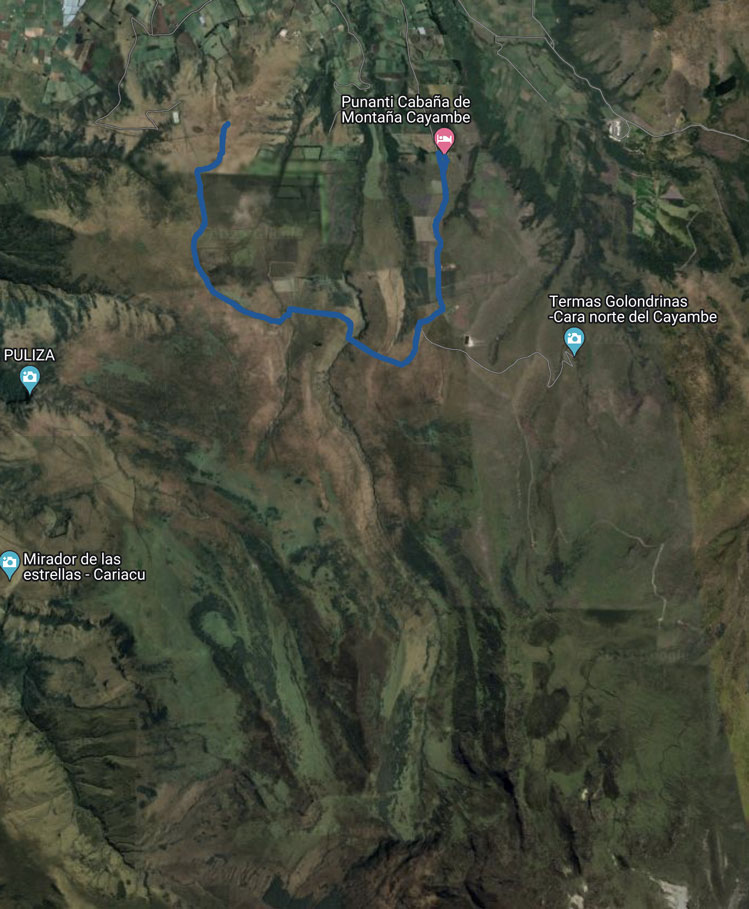
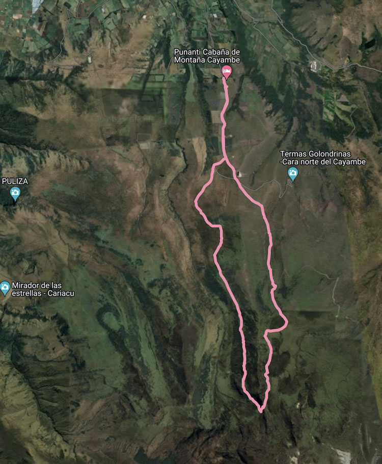
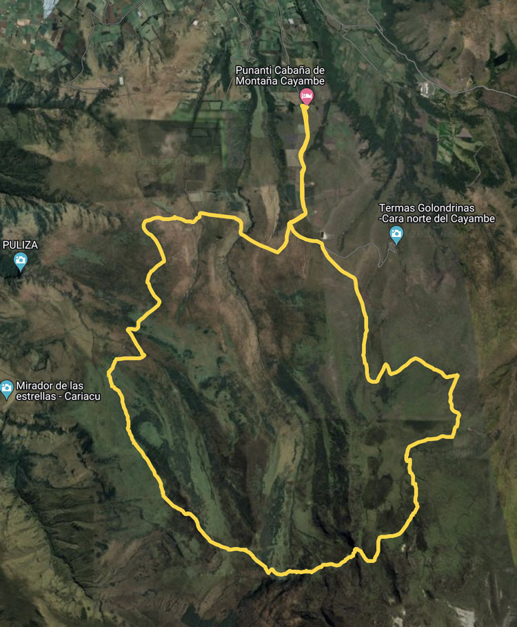
Download the GPX tracks
Click on the desired trail on the map just under, and, on the left side, you will get the link to download the GPX track for each trail.